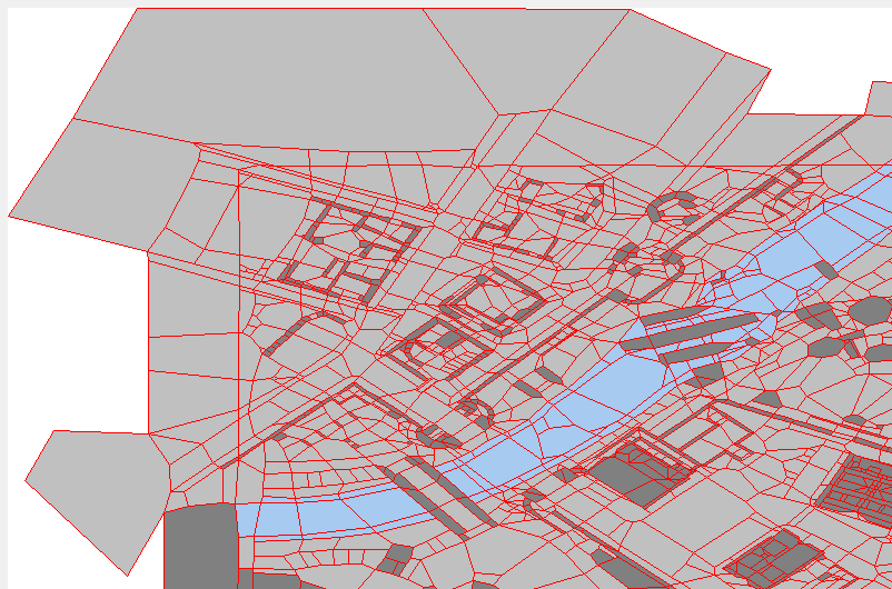
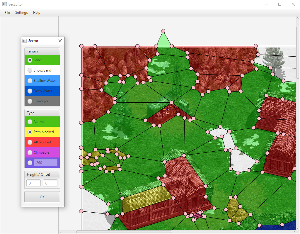
Hi, I'm working on a new version of the SecEditor.
Here's the first version that supports editing and creating simple maps.
 SecEditor3.0_beta7.zip 571.34KB
244 downloads
SecEditor3.0_beta7.zip 571.34KB
244 downloads
SecEditor3.0_beta6.zip 594.92KB
163 downloads
SecEditor3.0_beta5.zip 593.53KB
140 downloads
SecEditor3.0_beta4.zip 129.88KB
141 downloads
SecEditor3.0_beta3.zip 124.73KB
140 downloads
SecEditor3.0_beta2.zip 115.29KB
144 downloads
SecEditor3.0_beta1.zip 44.9KB
307 downloads
If you have any suggestions or feature requests, please let me know.


 .
.